


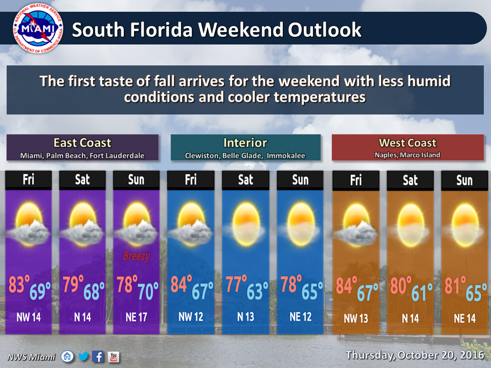
 Hold on one more day, South Florida — our first cold front of the season is coming. In the meantime, Friday features a slightly cooler start in the morning, sun and clouds, maybe a stray shower, and highs ranging from the mid to upper 80s along the east coast and in the Keys to the mid 80s at Gulf coast locations. The front finally arrives overnight, and it won’t bring much in the way of rain.
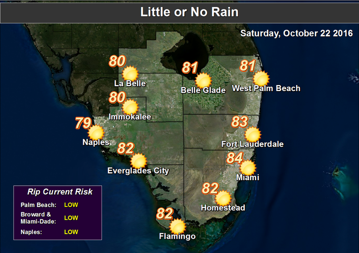 We’ll see Saturday morning lows ranging from the low 70s in the Keys to the upper 60s at east coast locations, and the low to mid 60s from suburban Miami-Dade and Broward westward to the Gulf coast. Then look for clearing skies and highs in the mid 80s during the day.
Sunday morning lows will be in the 60s around South Florida. The breeze will increase on Sunday as highs top out in the low 80s.
An ocean breeze builds on Monday, and the risk of dangerous rip currents at the Atlantic beaches will increase. Otherwise, we’ll see morning lows in the mid 60s to low 70s, lots of sun, a few clouds, and highs in the low 80s on Monday.
Tuesday will bring a few more clouds on the breeze, an elevated risk of rip currents at the Atlantic beaches, and highs in the low to mid 80s.
In the tropics, the area of disturbed weather well to our east has a medium chance of developing into a tropical or subtropical depression over the next few days. It is expected to move northward and get pushed to the northeast (and out to sea) by our cold front.


