

Environment Canada has issued a snowfall warning for areas of B.C. Thursday night.

The snowfall warning is in effect for:
- East and West Vancouver Island (including inland sections)
- Fraser Valley
- Greater Victoria
- Metro Vancouver
- Southern Gulf Islands
- Sunshine Coast
READ MORE: Vancouver street clearing crews brace for Thursday’s snowfall
Environment Canada says “significant snowfall” is expected as cold arctic air is entrenched over the region.


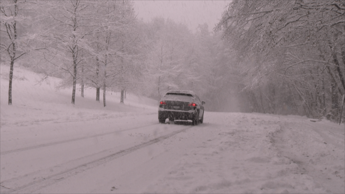


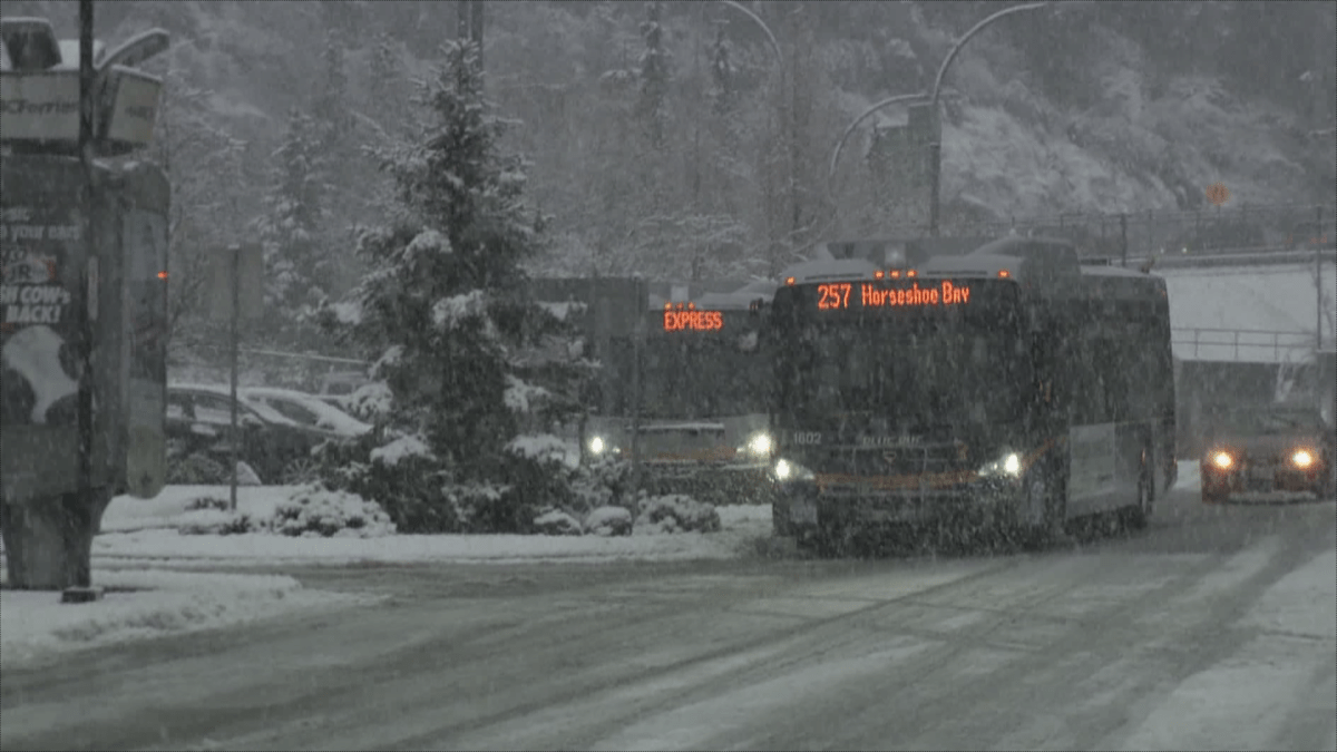


The snow is not expected to start until late tonight, possibly around 11 p.m., over Vancouver Island. As the storm moves further east it is expected to start snowing over Metro Vancouver and the Fraser Valley.
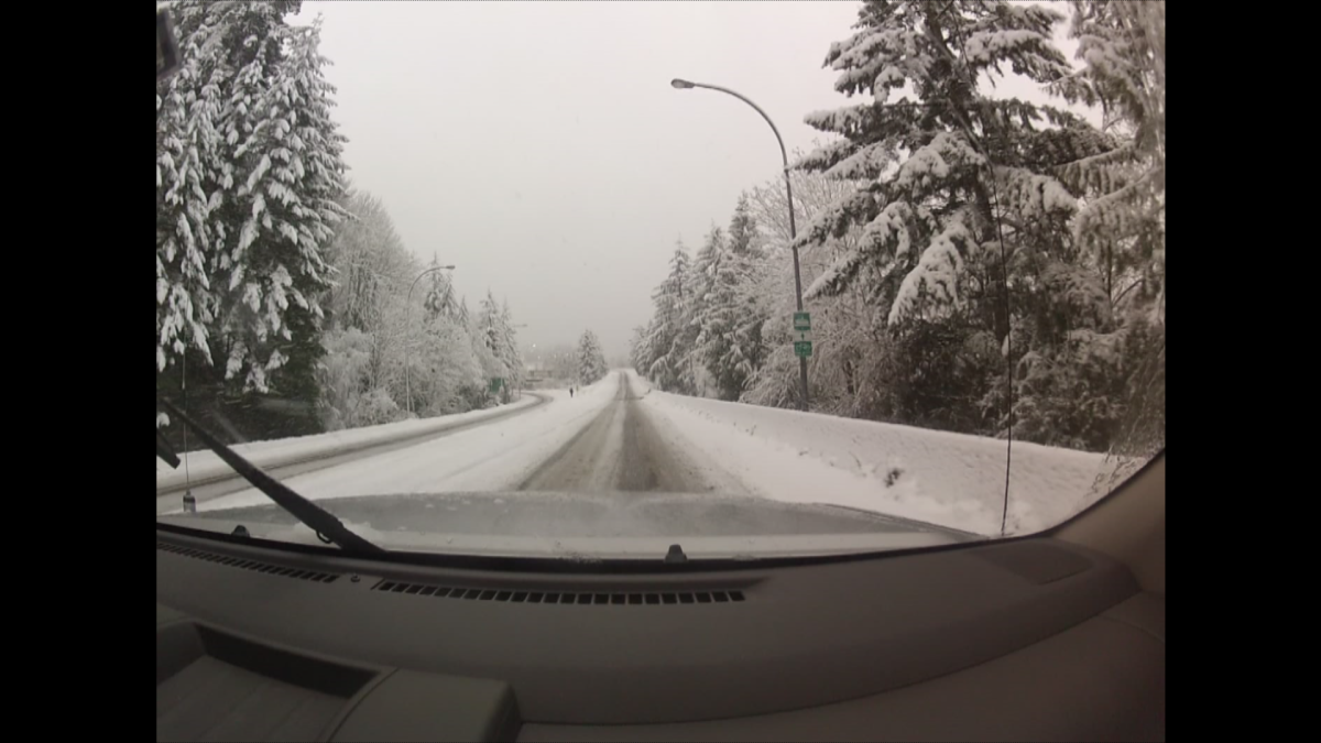
Low-lying areas could see between five and 15 centimetres with accumulations up to 25 centimetres over higher terrain.
The snow is expected to become mixed with rain on Friday afternoon or evening in areas near sea level.


Communities in higher elevations or inland, such as the Fraser Valley, will see more snow than rain through Friday night.
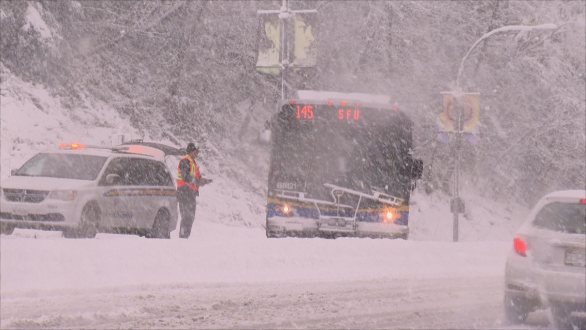
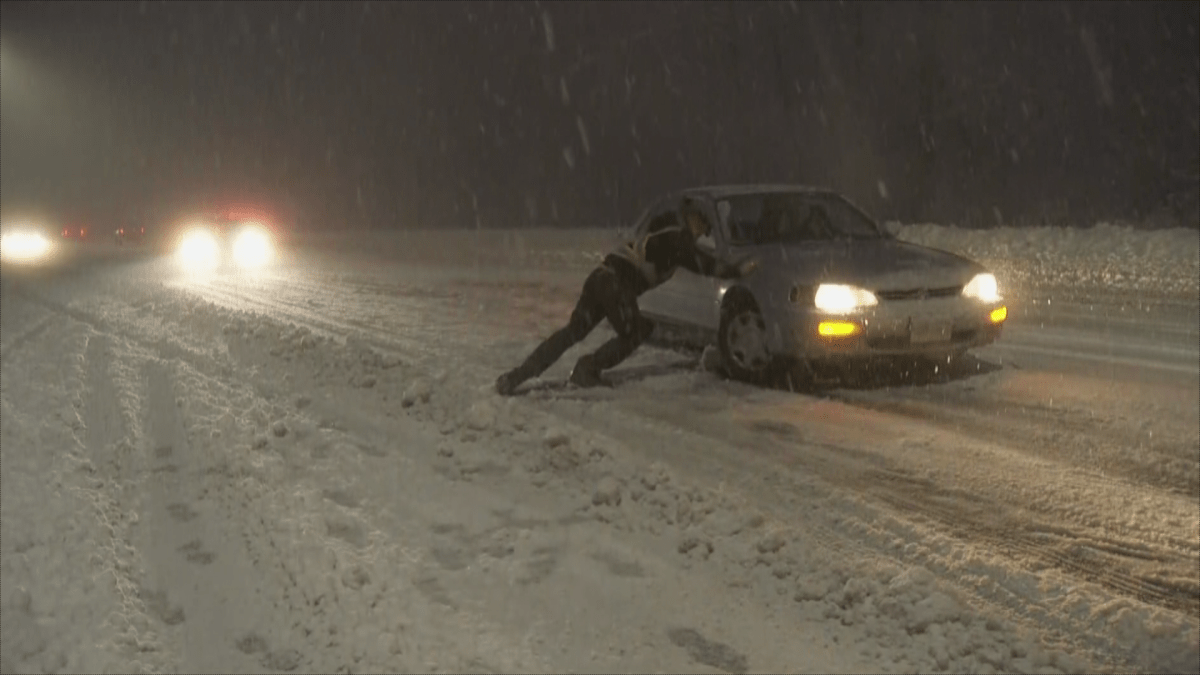
Strong easterly winds combined with the snow will cause reduced visibility in blowing snow, especially in the Fraser Valley.
More precipitation is on the way Saturday but coastal regions will get rain, not snow. Flurries are possible on Sunday across the region.
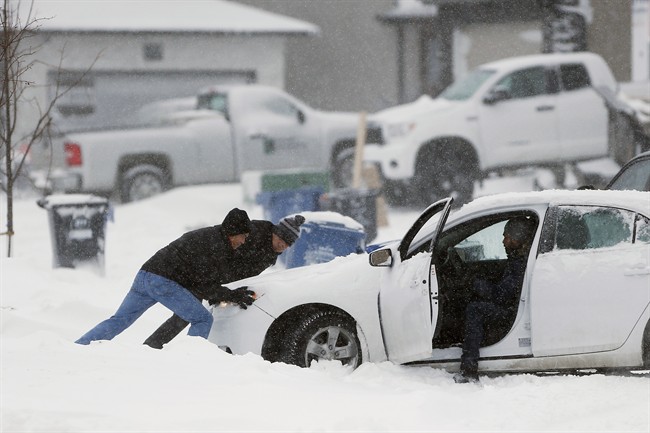
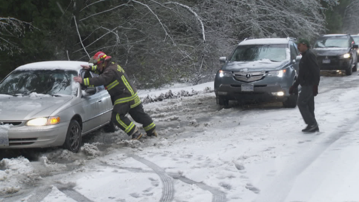
When the snow hit Metro Vancouver on Monday, it had not snowed significantly in the region in about 1,000 days.

-
![]() South Coast prepares for significant snowfall
South Coast prepares for significant snowfall -
![]() How the City of Vancouver will prepare for next snowfall
How the City of Vancouver will prepare for next snowfall -
![]() Metro Vancouver prepares for more snow
Metro Vancouver prepares for more snow -
![]() Navigating ice and snow in the Lower Mainland
Navigating ice and snow in the Lower Mainland -
![]() Ongoing efforts to clear Metro Vancouver roads after Monday’s snowfall
Ongoing efforts to clear Metro Vancouver roads after Monday’s snowfall -
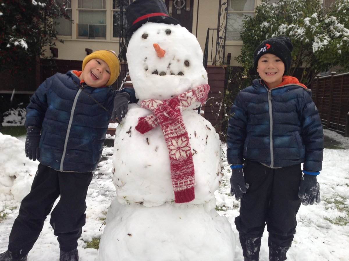
![]() Snow day fun in Metro Vancouver
Snow day fun in Metro Vancouver -
![]() Vancouver snow makes for a busy day at E-Comm
Vancouver snow makes for a busy day at E-Comm -
![]() Lower Mainlanders unprepared for first snowfall
Lower Mainlanders unprepared for first snowfall -
![]() Snow causes chaos for Metro Vancouver
Snow causes chaos for Metro Vancouver -
![]() Vancouver’s first snowfall of the season
Vancouver’s first snowfall of the season -
![]() Snow hits Metro Vancouver in time for morning rush hour
Snow hits Metro Vancouver in time for morning rush hour


- Effluent spill at Quesnel, B.C. factory poses no ‘acute risk’: Environment ministry
- Three B.C. men fined, banned from hunting after killing pregnant deer
- B.C. child-killer’s attempt to keep new identity secret draws widespread outrage
- Inquest hears B.C. hostage was lying on her captor before fatal shooting
Comments