Flood risk as heavy rain batters parts of Scotland
- Published

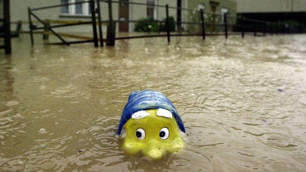
Heavy rain is battering parts of Scotland with flood warnings in place for the Highlands, around Loch Ness and parts of central Scotland.
Persistent rain is forecast through until Sunday morning, however milder conditions in the north east have seen temperatures of 15C at Fyvie Castle.
Swollen rivers feeding into and out of Loch Ness are said to be at particular risk of flooding.
The Met Office has also warned of possible travel disruption.
Flood warnings and alerts have been issued for the Highlands, Wester Ross, Moray, Tayside, Central, Shetland and Argyll and Bute.
'Localised flooding'
Richard Brown, from the Scottish Environment Protection Agency, said: "Water levels in the north west of Scotland have risen overnight due to heavy rainfall and snowmelt, particularly in Skye, Lochaber, the Great Glen and the rivers Ness, Beauly, Conon, Shin and Spey.
"These are expected to continue to rise as the rain and milder temperatures persist through Saturday and surface water may also cause problems in these areas. The heavy rain is also affecting rivers in Tayside and the Callander area.
"Localised flooding of low-lying land and roads is expected, and there may be some disruption to travel. Flooding of individual properties in low-lying areas is also possible."
CalMac said several ferry sailings have been cancelled and others may be subject to disruption.
And the Scottish Cup match between Inverness Caledonian Thistle and Raith Rovers has been postponed because of a waterlogged pitch after "incessant rain".
The club said: "As always player safety is paramount to any decision taken."
View the flood map by tapping on the image below

Note: the Environment Agency and the Scottish Environment Protection Agency display their flood alert data differently. While the Environment Agency highlights individual rivers only, in Scotland the entire region is coloured to indicate the level of alert.

Police Scotland said the public should be "vigilant of persistent and heavy rainfall" through the weekend.
A spokesman added: "There are warnings of localised flooding along with surface water on roads with a strong possibility of disruption to public transport."
The heavy rain forms part of a weather mechanism known as the Foehn Effect, which has also been forecast to raise temperatures in north east Scotland to 16C.
The average temperature in Scotland last month was 2.9C and the increase expected in some parts this weekend is due to a weather band crossing the Atlantic that originated in the Caribbean, forecasters said.
The highest temperature recorded in the UK so far this year was 16.5C at Exeter Airport on 9 January.
Analysis
BBC Scotland's Judith Ralston explains the Foehn Effect
The west of Scotland is set to be hammered by heavy, persistent rain in the coming days because of weather fronts moving in from the Atlantic.
However, the east of the country will continue to escape largely dry, with the north east being bright and unseasonably mild.
The weather pattern which produces those higher temperatures in the north east is known as the Foehn effect.
It's very common in Scotland due to our landmass, our mountain ranges and our close proximity to the sea.
Possible disruption
The Scottish government said it would monitor the weather over the weekend.
Environment Minister Aileen McLeod said: "The forecast is for heavy and prolonged rainfall across parts of the north and west. The wet weather, combined with snow melt caused by very warm temperatures, is expected to cause river levels to rise, particularly in Lochaber and around the Great Glen as well as the Beauly, Conon, Ness and Upper Spey.
"Members of the public should be alert to the risk of flooding in these areas and the potential for disruption."
Transport Minister Derek Mackay warned about possible disruption, particularly between Fort William and Inverness.
He added: "Our operating companies will be doing all they can to mitigate the effects of the storms by clearing drains and gullies but the extreme conditions mean that there is a chance of flooding on some routes.
"Drivers should check conditions before they travel and leave some extra time for their journeys."
- Published6 March 2015