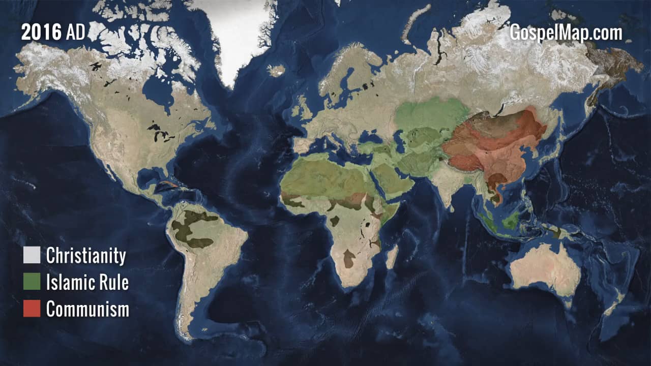
This animated map is a powerful visual depiction of the most important movement in history: the spread of Christianity. Every frame is one year in the last 2000 years of the Great Commission. It does not show only nations that have declared Christianity to be the national religion, or even areas where professing Christians are the majority of the population. It shows everywhere the Gospel has been preached, where churches and Christian gravestones first show external evidence of that work, and where churches and Bibles are accessible today.
This is an animated version of the data on our 24x36" printed Spread of the Gospel Map:
westernconservatory.com/products/the-spread-of-the-gospel-map
Charting the geographic progress of the Gospel over the last 2,000 years, this map shows the missionary journeys of the apostles, the outposts of the early church, the hotbeds of persecution, the staging grounds of the Church’s major theological battles, and more. In focusing on Christianity, it doesn’t show the geographic dispersion of Judaism, Hinduism, Buddhism, or others. Islam is on the map, but only those areas where Islam has dominated at a political level, instituting Sharia Law and persecuting Christians. We have highlighted these areas for the same reason that we show the Roman, Mongol, and Communist conquests: to provide context and demonstrate the effect that extreme persecution has had on Christianity.